The FRAME pilot (Forest fiRes Advanced ModElization) focuses on the realistic simulation of forest fires behaviour and spreading according to high spatial and time resolution data available or enhanced from public open data infrastructures. Simulations of forest fire behaviour is carried out on real scenarios where fire propagates over cell sizes of one square metre spatial resolution. Over these simulations are performed modifications of meteorological conditions, across a wide area of susceptible burning. Input values, which means digital elevation model (DEM), roads and infrastructures, fuel models and meteorological data, are obtained from Open Data published by different public administrations. In particular, FRAME achieve fuel data from the Linked Open Data that the CrossForest project itself provides as a final outcome, especially those from the Spanish and Portuguese forestry maps, in order to demonstrate how this linked data can help to settle some lacks in this matter.
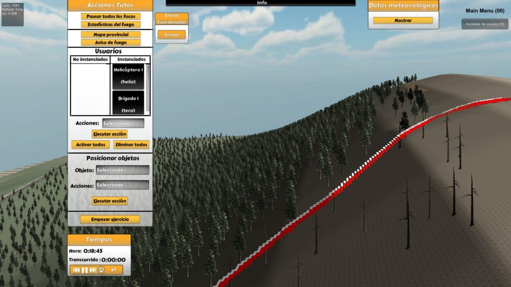
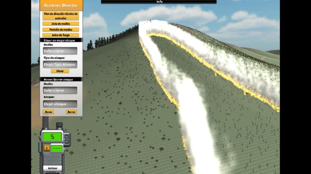
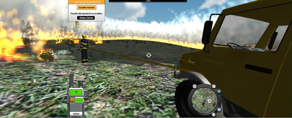
Specifically, a modification of the propagation core developed in the wildfire virtual trainer ERVIN is used as the basis to develop FRAME propagation model, running over a High Performance Computing environment, and employing the emergencies and wildfire management system EMERCARTO developed by Tragsa Group as the user interface. Supercomputing (HPC) will allow segregating heavy calculations and speeding up the performance of simultaneous simulations, that will be provided to the Graphical User Interface outputs based on EMERCARTO.
Simulation encloses steps as follows:
- Choice of area or plot for subsequent simulation.
- Choice of points or lines of ignition.
- Election of starting and ending time of simulation.
- Definition of required interval for the output fire perimeters.
- Introduction of meteorological conditions and variations during stablished simulation period.
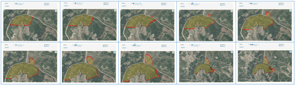
- Execution of fire propagation model based on the input open data gathered.
- Modification of meteo conditions as well as combat actions over the proposed scenario at simulation proceeding.